FieldTwin GIS data handling and Public Data Sources
As a user in FT you can choose to add a WMS or an ARCGIS Map server as a layer in your project. You can have multiple sources at the same time with different services. to use map services in FT you need to set up a CRS in the project settings.
Using WMS, all Web Map Services has a list of published CRS's, if the CRS set in the project settings is not a part of the list in the web map services, we don't allow the map data to be created.
Using ArcGIS map server, we query the data from the server to the set project CRS (EPSG code), and the Arcgis map server does the transformation of the data for us before we show it as a layer or you can choose to import geometry from it using the rules engine
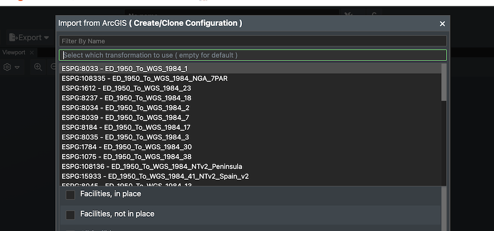
Transformations can also be handled manually if the ARGIS Server has a list of possible transformations available. Then a dialog box will appear in this case so the user can select the correct transformation method.
If you want to import geometry from a WFS, all WFS has a list of published CRS's, if the CRS in the project settings is not in this list, then we do the projection of the data on import
GIS data handling
We use Proj for handling our projections.PROJ is a generic coordinate transformation software that transforms geospatial coordinates from one coordinate reference system (CRS) to another. This includes cartographic projections as well as geodetic transformations.
Coordinate reference systems
ESPG.IO
ESPG simplifies discovery of coordinate reference systems utilised all over the world for creating maps and geodata and for identifying geo-position. It is a practical tool for anybody interested in cartography and digital map making, who needs to know exact latitude and longitude values for numerical coordinates in different spatial reference systems. Included map application allows to show the precise location anywhere on the planet also visually.
All the coordinate system definitions come from ESPG.IO (you can get it directly with https://epsg.io/[EPSG], so for example NAD50 UTM32 would be : https://epsg.io/23032, and the description we are using : https://epsg.io/23032.proj4 )
The value we get for EPSG:23032 is :
+proj=utm +zone=32 +ellps=intl +towgs84=-87,-98,-121,0,0,0,0 +units=m +no_defs
This gives Proj4 the information it needs for the conversion :
+proj, projection type : UTM (which gives the method for converting the coordinate from cartesian to geocentric ).
+ellps, the ellipsoid used (intl here, for international, Hayford).
+towgs84, the datum shift; to convert the computed geocentric coordinate to wgs84.
+units the unit the coordinate are in (here in meters)
+no_defs, just tell proj4 to not use default values, and use the ones we provided.
For a deeper explanation of these parameters please go to: http://proj.maptools.org/gen_parms.html
Public Data Sources
There are several government or other public data sources that provide open and free to use map and bathymetry data that can be useful for your Field Development projects. As FieldTwin allows you to connect to WMS (Web Mapping Services) and WFS (Web Feature) and ArcGIS services these data sources are easy to use to enrich your field layout. You can also find free Bathymetry data around the world accessible in the same fashion.
Note! This list is provided as is and FutureOn is in no way responsible for the content, use, data or it's accuracy so please read the site disclaimers for any copyright or accuracy information.

Web Mapping Services (WMS)
The use of geography data is becoming more and more important for Energy operators and service providers to make informed decisions. This can be in terms of locating and extracting new resources, better field design and planning, information retrieval and offers deeper insight into relationships and patterns as part of everyday operations. You can add a map layer to FieldTwin Design using the WMS (Web Mapping Service) to Add a WMS Layer.
ArcGIS REST Services
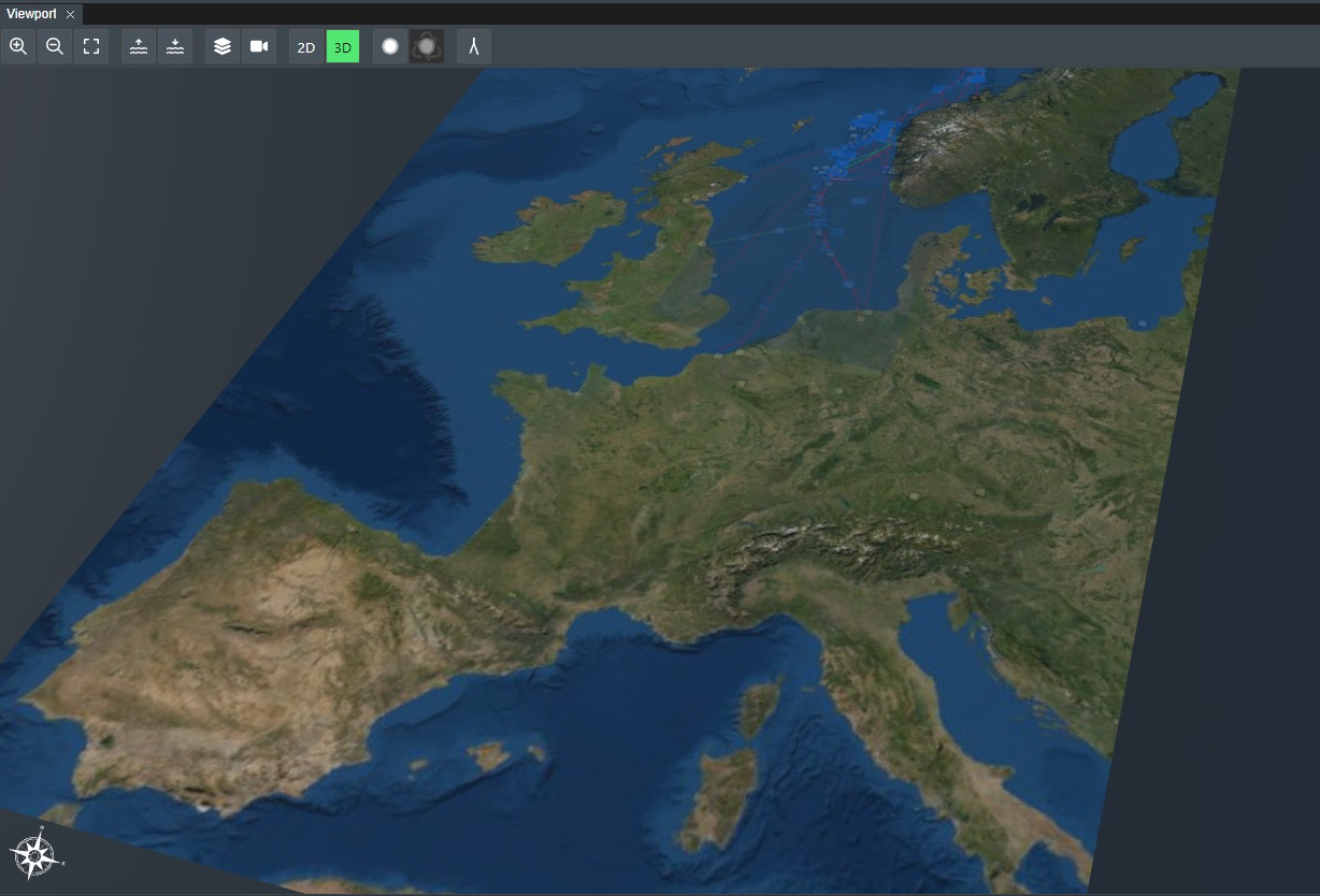
ESRI provides open data through their arcgisonline services using their REST API. You can see what is available here ArcGIS REST Services. You can add a ArcGIS map layer to FieldTwin using the ArcGIS option in the Create Menu for ArcGIS.
As an example, this is the REST API URL for the World Imagery Map service:
http://services.arcgisonline.com/arcgis/rest/services/World_Imagery/MapServer
With this URL, you will then get the following Map layer in FieldTwin Design as shown below:
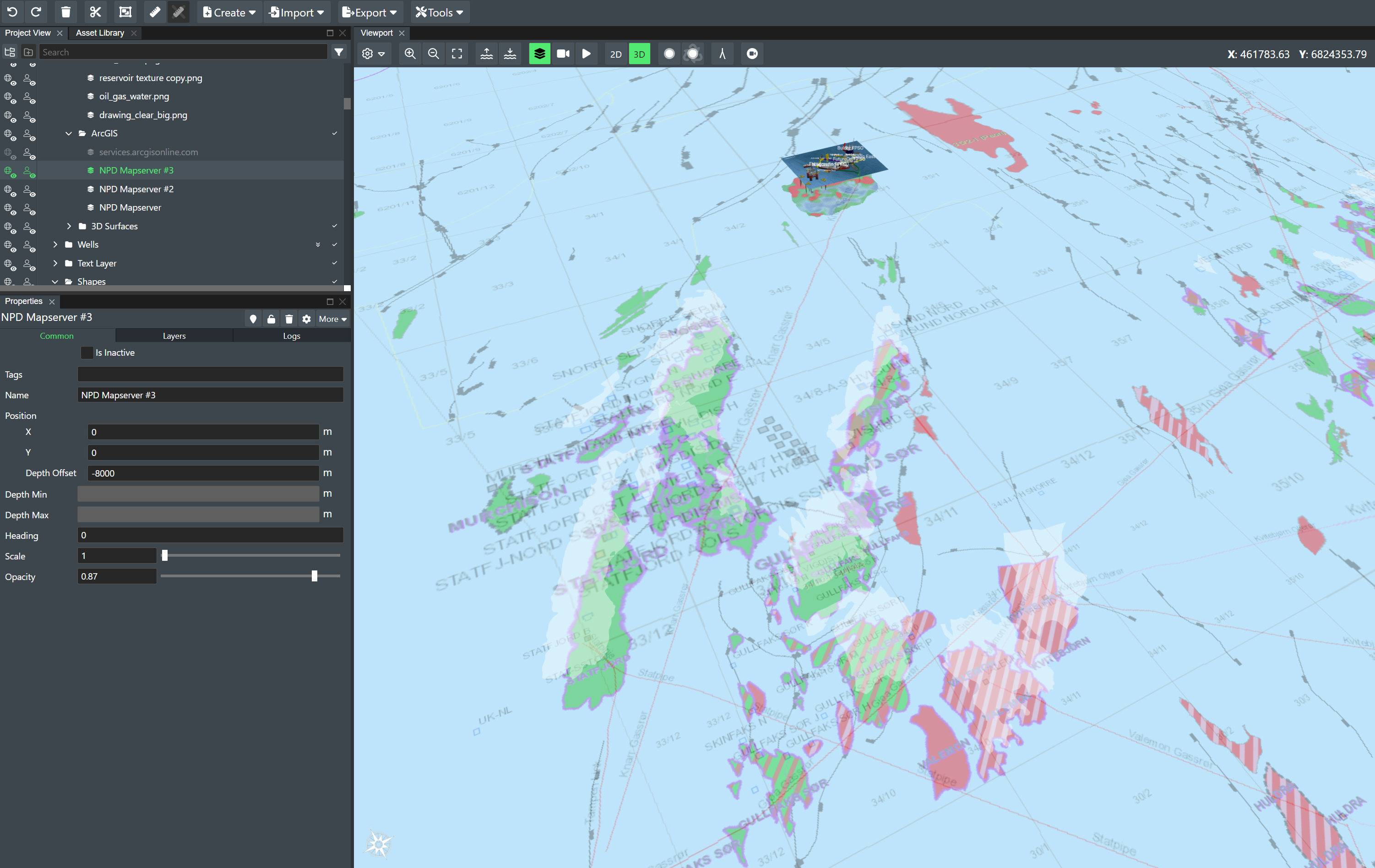
NPD
If you are working on project on the Norwegian continental shelf you can now access the Norwegian Petroleum Directorate open map service and visualise information such as well-bores, surveys, fields and discoveries, production licenses, agreement-based areas, permanent facilities and more as part of your layout to facilitate more effective discussions for e.g. equipment and piping scenarios.
They provide the following map services:
As an example, this is the WMS URL for the NPD map service:
https://factmaps.npd.no/arcgis/services/FactMaps_ogc/3_0_ED50_z32/MapServer/WMSServer
With this URL, you will then get the following Map layer in FieldTwin Design as shown below:
GeoNorge
Geonorge is the national website for map data and other location information in Norway. Users of map data can search for any such information available and access it here.
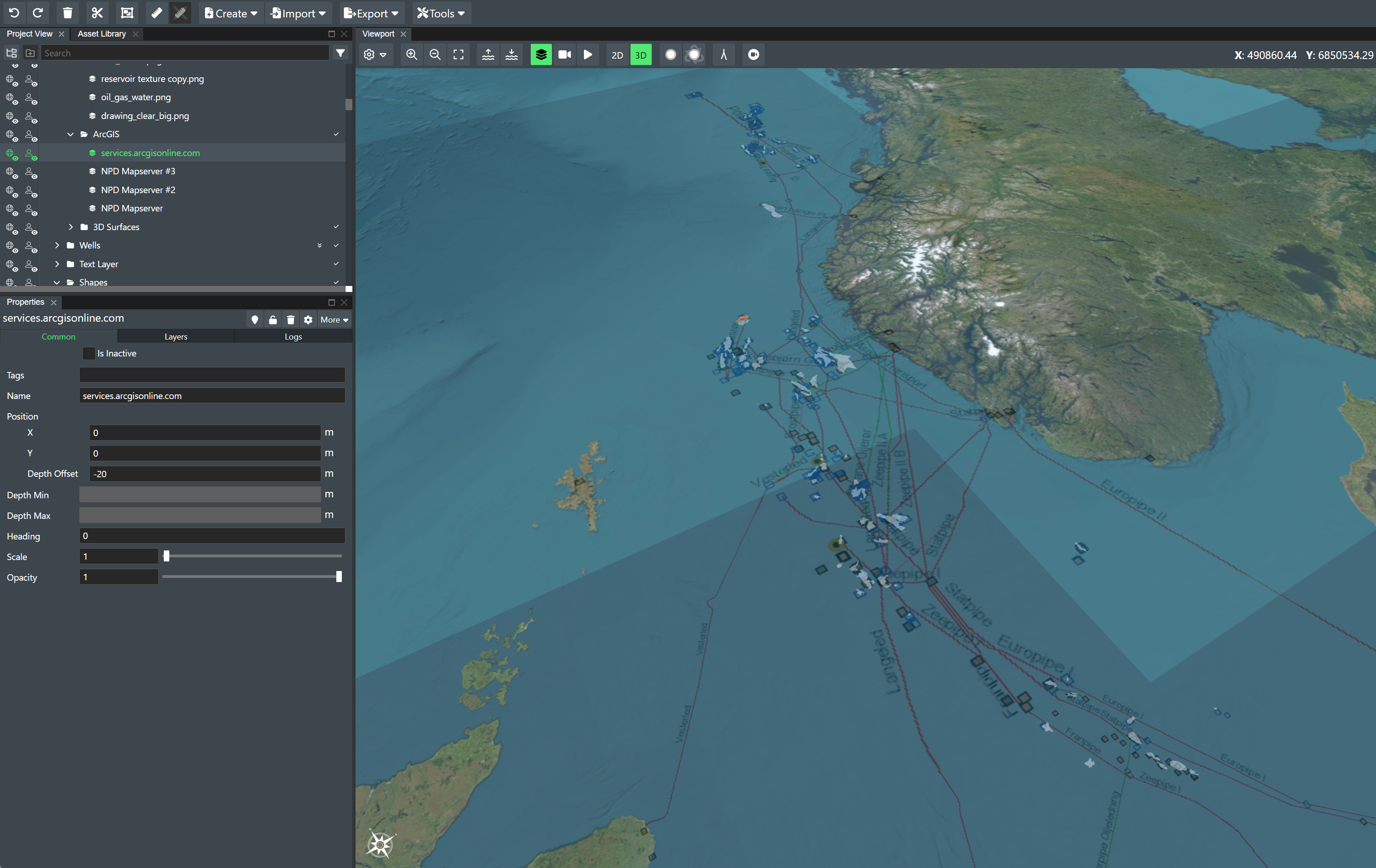
WFS
FieldTwin Design supports direct import from WFS (read: Web Feature Service) mapping servers/services such as e.g. ArcGIS. This means you can directly import Web Mapping Features as vector data e.g. existing pipeline data as new connections in FT Design. Read more about Using WFS
NPD
If you are working on project on the Norwegian continental shelf you can now access the Norwegian Petroleum Directory open map service and visualise information such as pipelines.
They provide the following map services:
As an example, this is the WFS URL for the NPD map service:
https://factmaps.npd.no/arcgis/services/FactMaps_ogc/3_0_ED50_z32/MapServer/WFSServer?request=GetCapabilities&service=WFS
Bathymetry
FieldTwin Design is able to ingest bathymetry as x,y,z data (pointclouds) or as GeoTIFF files.FutureOn has used the GeoTIFF datasets from the following providers below successfully. Read more information about loading 3D surface. Note! The right CRS (Coordinate Reference System) has to be defined in the project settings. See General Settings.
Bathymetry can also be imported from Arcgis online, more information can be found here.
EMODnet
Gebco 2020 Gridded Bathymetry Data Download
Please read the terms of use below!